Mastering land data
Where innovation meets accessibility for property professionals.
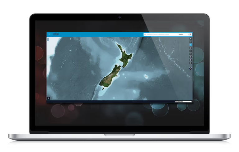
With its intuitive interface and cloud-based accessibility, GRIP consolidates all essential land data securely in one platform, giving you instant access no matter where you are. Designed for surveyors, legal experts, planners, and beyond, GRIP turns complex land data into meaningful insights making your job simple

Features & benefits
Title goes here
Lorem ipsum dolor sit amet, consectetur adipiscing elit. Ut elit tellus, luctus nec ullamcorper mattis, pulvinar dapibus leo.
Title goes here
Lorem ipsum dolor sit amet, consectetur adipiscing elit. Ut elit tellus, luctus nec ullamcorper mattis, pulvinar dapibus leo.
Title goes here
Lorem ipsum dolor sit amet, consectetur adipiscing elit. Ut elit tellus, luctus nec ullamcorper mattis, pulvinar dapibus leo.
Title goes here
Lorem ipsum dolor sit amet, consectetur adipiscing elit. Ut elit tellus, luctus nec ullamcorper mattis, pulvinar dapibus leo.
Title goes here
Lorem ipsum dolor sit amet, consectetur adipiscing elit. Ut elit tellus, luctus nec ullamcorper mattis, pulvinar dapibus leo.
Title goes here
Lorem ipsum dolor sit amet, consectetur adipiscing elit. Ut elit tellus, luctus nec ullamcorper mattis, pulvinar dapibus leo.
Title goes here
Lorem ipsum dolor sit amet, consectetur adipiscing elit. Ut elit tellus, luctus nec ullamcorper mattis, pulvinar dapibus leo.
Title goes here
Lorem ipsum dolor sit amet, consectetur adipiscing elit. Ut elit tellus, luctus nec ullamcorper mattis, pulvinar dapibus leo.
Land data types
Cadastral
Cadastral
Find out moreCoordinate
Coordinate
Find out moreBoundary
Boundary
Find out moreINFRASTRUCTURE
Infrastructure
Find out moreTerrain
Terrain
Find out moreTitle
Title
Find out moreTrusted by industry professionals


Ready to revolutionise your land data access?
We believe your projects deserve a tool that fuels efficiency and creativity. Get in touch and explore all the powerful features GRIP has to offer.